After spending the night in Marina Del Ray, I called the bank to get the details on our credit card fraud, then made our way to the Santa Monica Pier, one of the two recognized ending points for Route 66 on the West Coast. On a beautiful sunny day with many visitors, even in September, we walked the pier, and listened to the gulls and performers, before heading north up the coast: our destination, Monterey.
Along the way, we stopped at Morro Bay, visiting the Maritime Museum and the stacks of a former power plant.
Hwy 1 CAPismo Beach, CAPismo Beach, CAMorro Bay, CAMorro Bay, CAMorro Bay, CAMorro Bay, CAMorro Bay, CAMorro Bay, CAMorro Bay, CAMorro Bay, CAMorro Bay, CA
Our plan was to take California Highway 1 all the way up the coast, but no matter how much we fought the GPS, PCH 1 was closed for some of the route, so about 30 minutes north of San Simeon, we were forced to backtrack and make our way inland to US101 to get to Monterey! Although we loved the ocean views, we learned our lesson – no more arguing with the GPS! It made for a long day and we arrived in Monterey well after dark.
We stayed at the beautiful Monterey Hotel, built in 1904. Our room was lovely and it’s just 1.5 miles from Cannery Row. There is no onsite parking, but you can park overnight for free or low cost in a parking lot managed by the city of Monterey, located on Calle Principal (behind the hotel building).
Monterey, CAMonterey, CAMonterey, CAAlvarado Street Brewery Monterey, CAAlvarado Street Brewery Monterey, CAAlvarado Street Brewery Monterey, CAAlvarado Street Brewery Monterey, CAAlvarado Street Brewery Monterey, CAMonterey HotelMonterey HotelMonterey HotelMonterey Hotel
The Alvarado Street Brewery was just a few steps away with a fun menu, a vibrant atmosphere, and delicious food.
Monterey, CAAlvarado Street Brewery Monterey, CAMonterey Hotel
Safe Travels and God’s blessings! You can continue following our adventures on Facebook at Normads (Norman Adventures) or on the blog.
So we started Day 2 by driving around Needles a bit, finally landing at the Route 66 Museum. It’s near a train depot and a Harvey Hotel site. Needles is a railroad town, running more than 90 trains daily, most 2-3 miles long. We could hear several from our hotel room, but it wasn’t enough to keep us awake. As we continued on our road trip it was interesting to see trains along the road and wonder if they originated from or passed through Needles.
The plan was to take 66 all the way into Barstow, but on our way to Goffs, the road was blocked (due to a washout from flooding), and we had to backtrack to I40 via Homer which cost us about 45 minutes. The Route 66 app didn’t notify us of the road closure, but we got back on track and made it to Essex, where we saw the highest fuel prices of the entire trip. Fortunately, we’d refueled in Kingman, AZ.
We rejoined Route 66 on our way to Chambless and Amboy. Again, the road to both was partially closed for roadwork and more flood repairs, but we were allowed to pass on the one-lane road along with many other cars (presumably on the same trek). This was another closure/restriction the app didn’t notify us of, but we decided to give it a try (as it wasn’t completely closed) and made our way into Amboy and Roy’s Motel and Café. There’s really not much to the ‘town’ of Amboy except a post office, church, and Roy’s. The motel no longer offers rooms, but there is a gift shop, and a ‘café’ (they had hot dogs, food bars, cold sandwiches, and some cold drinks). The fuel pumps work, although it was expensive.
Next stop was Amboy Crater, which is visible from Roy’s, but worth the drive to the outlook. From there we drove through a series of small towns that were barely blips on the map until we stopped before Ludlow to take some photos of the Route 66 emblem on the road. Getting back on I40, we headed originally towards Barstow, but learned the museum was closed on Tuesday.
From there we traveled to Victorville, taking I15 south. Again, the plan was to visit the museum but it was closed on Tuesday, so we took a side trip to Hesperia, my original hometown. We drove through the city – which was little more than a speck when I grew up there – and navigated to my first home, near the golf course. I also drove to Hesperia Christian School, now a large campus and one of several schools in Hesperia. They even have mass transit and school buses! We drove back to Victorville and had a late lunch/early dinner, before heading into San Bernardino to see one of my favorite parts of this Route 66 trip!
The Wigwam Motel in Rialto/San Bernardino, California was one of several villages built in the 1930s. The “Cozy Cone” from the Disney movie “Cars” was inspired by the Wigwam villages.
It had been a long day and we were tired, so we made our way to the Foghorn Harbor Inn, Marina del Ray ready to rest for the night!
This is the point I realized that my VISA card had been compromised; the card declined at lunch in Victorville, but I thought it was a swipe/chip error, not fraud. When the deposit for the hotel declined as well, we put it on the debit card (we’d prepaid for the room), had dinner, got settled in and I checked the account online. Thankfully, BECU put a hold on the account after four suspect charges on the card. But that’s a story for another post…
Safe Travels and God’s blessings! You can continue to follow our adventures on Facebook at Normads (Norman Adventures), or here on the blog.
One of hubby’s bucket list items was to drive on Route 66. At first, he only wanted to do the Arizona to California portion, but I think I’ve convinced him to do it all; just in smaller bits and pieces. I would say this was our FIRST time on Route 66, but I think we’ve been on it unknowingly a few other times before I even registered it was a thing. Anyone who’s seen the movie “Cars” knows of the road, but at the time I hadn’t even looked into all the different cities along the way. And yes, the song has run through my head more than once during our trip.
As mentioned in an earlier post, we purchased the “Route 66” app for my phone. The download is free, but to use it you have to pay; you can choose a week ($19.99) or year ($39.99). The app works with CarPlay and you can select cities and towns along Route 66 that you want to visit. I would recommend that you select Points of Interest and not cities; we missed a number of things that would have been fun to see by only choosing the place we wanted to visit. The voice was odd, it didn’t always take us where we selected, and it didn’t alert us to current closures.
We also purchased two books EZ66 Guide and Route 66 Road Trips. Neither book were user friendly for us, although we did tab a couple of pages for reference during the trip. The best website I found was Route 66 Travel Guide. State-by-state, city-by-city links and information on the POIs. There’s also a pretty great Facebook page with photos and a community that will offer suggestions on their favorite places. In researching Route 66, I’ve decided there is NO WAY to see everything in one, two, or even several trips. There are just too many things to see!
Road Trips are supposed to be an adventure, and in that spirit, the best method for us was researching the POIs we wanted most, mapping them (printed and/or GPS/App), and getting on the road! I would recommend allotting more time than you think you need if you want to get the full experience. We started later than planned and unfortunately rushed through some of the towns in a hurry to get to our destination for the night.
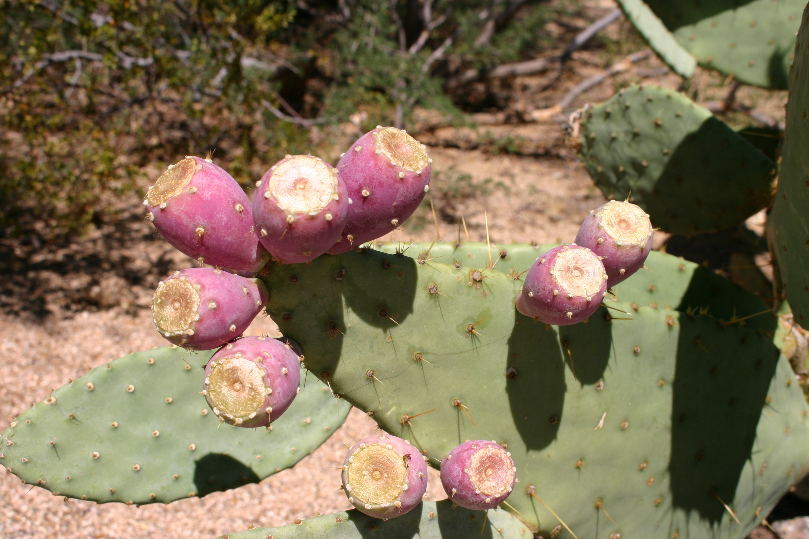
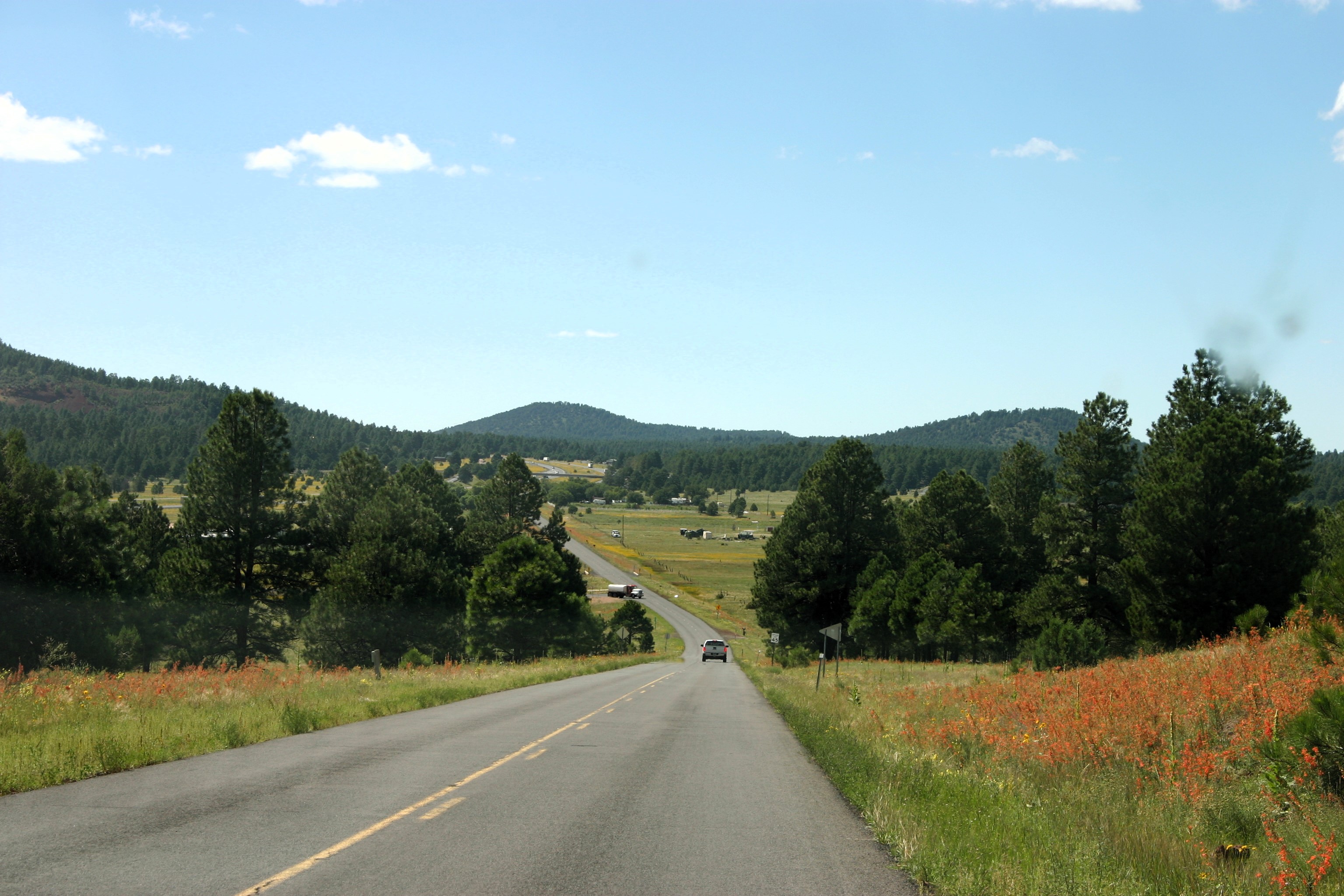
We made our way from Mesa to Flagstaff via I17. It’s roughly a 2-and-a-half-hour drive, mostly scenic, as you climb from 1100 to almost 7000 feet of elevation. One of the rest areas had the most beautiful prickly pear cactus in bloom! We had lunch in Flagstaff and headed out on our the next leg of our Route 66 journey; Williams, AZ.
Prickly Pear CactusPrickly Pear CactusPrickly Pear CactusRoute 66 outside of Flagstaff, to Williams, AZRoute 66 outside of Flagstaff, to Williams, AZRoute 66 outside of Flagstaff, to Williams, AZRoute 66 outside of Flagstaff, to Williams, AZSo much blue sky and clouds!Miles and miles of clouds
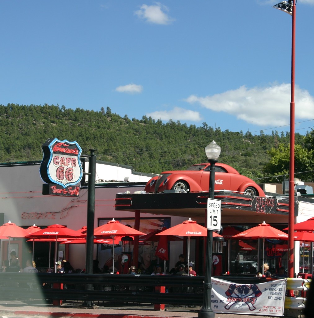
Williams is the “Gateway to the Grand Canyon”, offering train trip packages to the Canyon and back. There are a number of interesting things in Williams, including the train depot park, visitor’s center, and a wall mural denoting it as “The Last Town Bypassed by I-40”. There was also a “Zip Line” attraction, and a new roller coaster park.
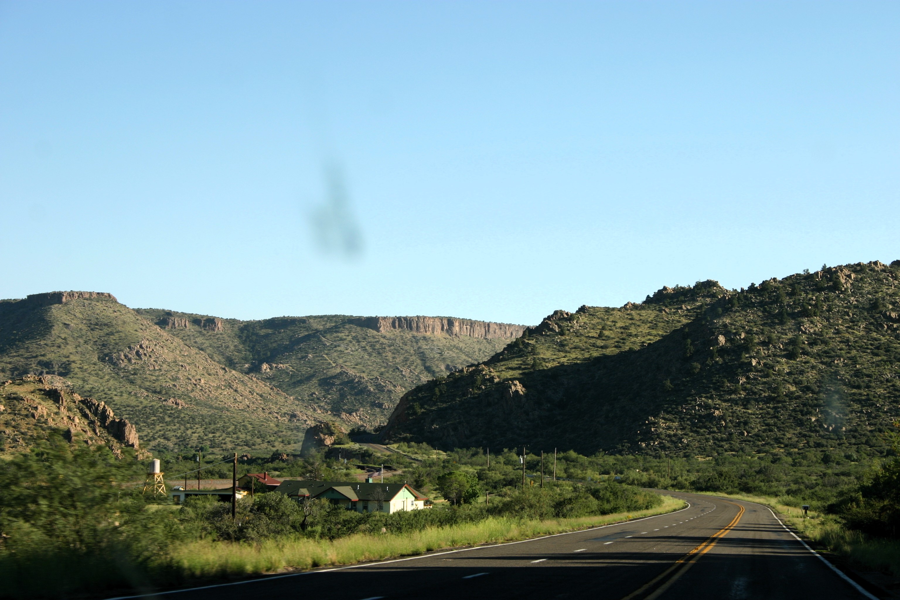
Next up was Ash Fork. We did not stop at the museum but found a Route 66 marker, and a monument/park commemorating the history of Ash Fork. It was amazing to see the slices of Americana on the backroads. Spaghetti Dinner fundraisers, water towers, American Flags flying, and all the small businesses continuing to make their living on the lore of “The Mother Road” and its travelers.
On the road to Ash Fork, AZOn the road to Ash Fork, AZAsh Fork, AZAsh Fork, AZAsh Fork, AZAsh Fork, AZAsh Fork, AZAsh Fork, AZBurma Shave Signs outside of Seligman, AZ Seligman, AZ Seligman, AZ Seligman, AZ
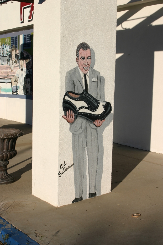
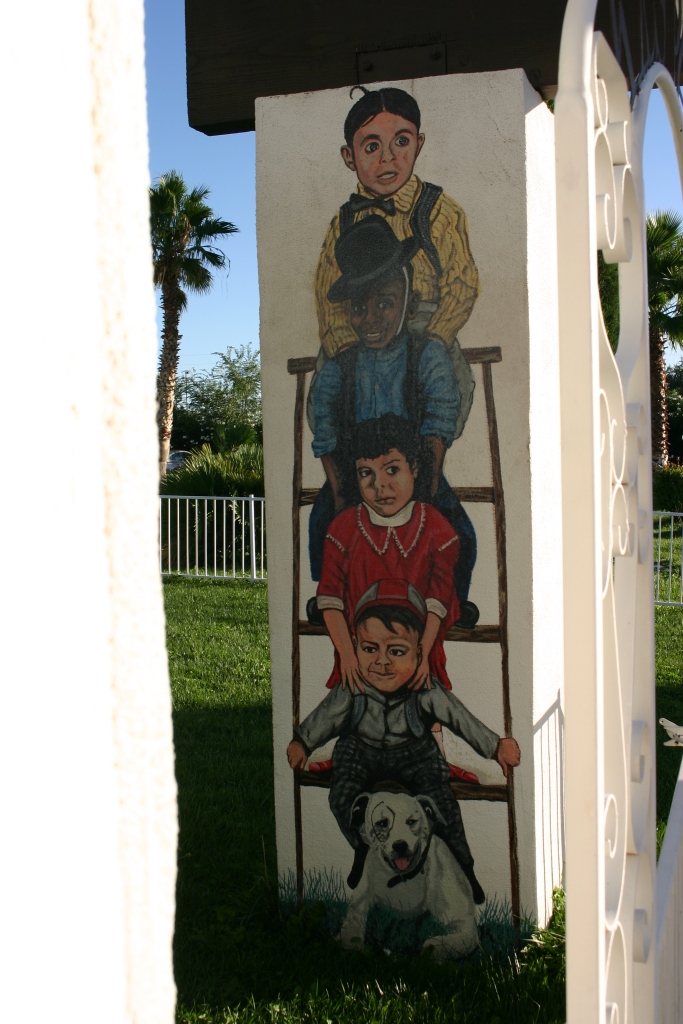
We stopped in Seligman (pronounced ‘Sligman’) only long enough for a photo of ‘Mater, Lightning McQueen, and a bathroom stop. The thrill of finding “Burma Shave” signs between Seligman and Kingman added more history to the trip. We refueled in Kingman (which is where we think the fraud on our credit card happened), then stopped at the Ramada Inn, known for its murals and artwork depicting Hollywood stars from earlier days. I fan-girled and had my photo taken with ‘James Dean’.
We missed the Oatman burros, the Topok Bridge, and water tower; making it to Needles as the sun was setting just after 7 p.m.
Safe Travels and God’s blessings! You can continue to follow our adventures on Facebook at Normads (Norman Adventures), or here on the blog.